
Farmington Hills ZIP Code Directory Coverage
Farmington Hills is served by seven ZIP areas shown inside or along the city line on the official city and Oakland County GIS map. The map is a useful geographic starting point, but it is dated 2010, marked approximate, and carries no accuracy warranty. Use it to see which delivery area may touch an address, then check the complete delivery address with USPS. This local reference is an address-verification tool, not a roster of people or a city-boundary map.
| ZIP | Areas Covered | Post Office | Notes |
|---|---|---|---|
| 48025 | Northeast and east-edge sliver near the 12 to 14 Mile and Orchard Lake to Middlebelt side | Verify exact USPS city label; legacy materials associate Franklin | Postal and city lines can differ |
| 48322 | North and northeast edge toward West Bloomfield | Address-specific USPS recognized city label | Northern map area; boundary is approximate |
| 48331 | Northwest and central-west Farmington Hills | Farmington Hills postal label | One principal city ZIP area |
| 48334 | North and central-east Farmington Hills | Farmington Hills postal label | One principal city ZIP area |
| 48335 | Southwest and central-west Farmington Hills | Farmington Hills postal label | Historic postal material can use Farmington labels |
| 48336 | Southeast and central-east Farmington Hills | Farmington Hills postal label | One principal city ZIP area |
| 48167 | Southwest corner near Haggerty, I-275, and the Farmington boundary | Verify exact USPS city label | Small city and post-office mismatch is possible |
The official map does not assign a confirmed serving station to every row, and the available USPS material did not return a stable facility result without a particular address. The Post Office column therefore gives only the documented postal-label guidance, not an invented station name. A complete address remains necessary for a final answer.
The Farmington Hills map gallery is the city source for the ZIP, parcel, precinct, and other map layers.
Map layers help place an address within a broad area. They do not convert a ZIP label into a present residence claim or a municipal jurisdiction ruling.
Farmington Hills Principal ZIP Areas
The city map identifies 48331, 48334, 48335, and 48336 as the principal Farmington Hills-labelled areas. That is helpful when an old directory, a parcel report, or a mailed record gives only a postal label. It is still only a starting point. The local city wraps around separate Farmington city, and the older record trail can use Farmington Township, Farmington City, or Farmington Hills for the same general corridor.
Keep the historical label as written, then bridge it with the property PIN and legal description. Oakland County’s ten-digit PIN is a stable parcel key even where a road label, city name, or ZIP is unclear. Tax search uses the number without dashes or spaces, while Super Index examples may show it hyphenated. A legal description may refer to a subdivision lot and block, condominium unit, or metes-and-bounds parcel instead of the current street address.
Farmington Hills Postal Edge Checks
48025 and 48167 are the local edge cases that need the most care. The city’s 2010 map shows a 48025 sliver at the northeast or east edge and a 48167 area at the southwest corner. For 48025, the research notes legacy USPS material associating the code with Franklin. For 48167, the postal city may point toward the Northville or Plymouth area rather than the city name. Neither situation means the map is wrong. It means postal delivery geography and city limits were built for different jobs.
No official Farmington Hills source located a ZIP split or realignment history, nor a ZIP-specific population or voter-registration table. Treat a boundary color or old label as a discovery lead, not a dated fact about an address. This local mismatch is why the city map date and an address-level USPS check should be retained before a parcel, directory, or request search begins.
Validate Farmington Hills ZIP Codes
USPS ZIP Code Lookup offers three different questions. ZIP by Address is the precise delivery check. ZIP by City and State offers a broader place query. Cities by ZIP returns recognized city names for a known code. USPS states that a ZIP result does not confirm a person or company at the address, and that a recognized city name can improve delivery. The result verifies the postal answer, not residency, parcel ownership, or city-limit status.
| USPS mode | Fields and check |
|---|---|
| ZIP by Address | Street is required; company is optional; apartment or suite is optional; enter city and state, then use ZIP if known. |
| ZIP by City and State | City and state are required. Use it for a broad postal question, not as proof for one delivery point. |
| Cities by ZIP | ZIP is required. It returns recognized city information for that delivery code. |
| Final comparison | Compare the USPS result with the municipal parcel, county PIN, legal city, and the dated city map. |
The USPS address lookup is the documented final check for a specific Farmington Hills delivery point.
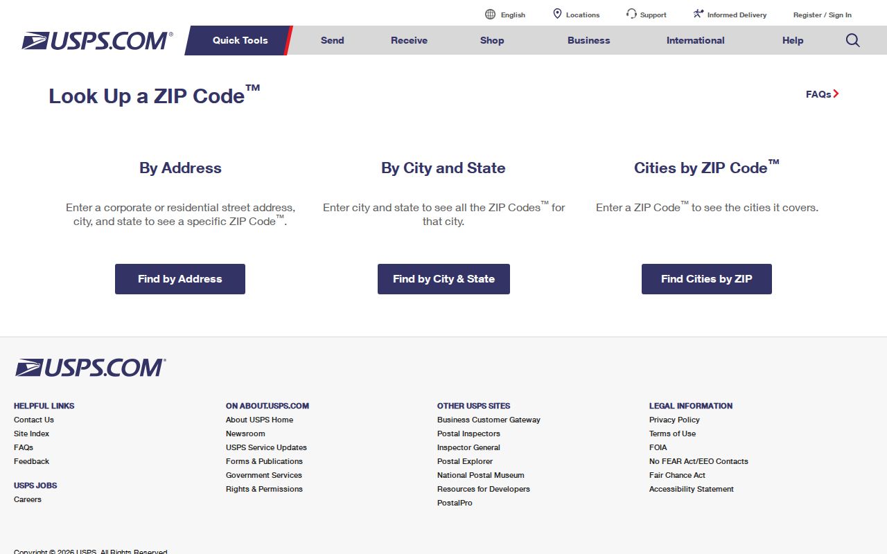
The address mode requires the real street address, not a person’s name. Save the result date because postal labels and delivery routes can change.
Find Farmington Hills Residents by ZIP
A ZIP can narrow where to look, but the documented local public records do not offer a general ZIP-wide resident return. Start with the approximate city map area and USPS address answer. Then move to the relevant parcel or record key. That postal-area result is only the first geographic sort, while each later search remains address-, PIN-, name-, case-, or jurisdiction-based.
- Read the city ZIP map to identify the likely delivery area and any edge condition.
- Run USPS ZIP by Address with the complete street, city, and state.
- Open the municipal or county parcel record by exact address or PIN and record the legal city and parcel identity.
- Use the needed record system, such as a deed index or court search, with its own supported field rather than treating ZIP as a person filter.
- For a street sequence after the ZIP is settled, use the Farmington Hills street directory and its address-keyed parcel workflow.
ZIP, precinct, PIN, situs address, mailing address, and legal description are separate keys. They can point to the same parcel, but one field should not be substituted for another.
Farmington Hills ZIP Code Search Gaps
Neither visible local property portal offers a documented public ZIP filter. Oakland Property Gateway takes a PIN or property address, while Farmington Hills BS&A exposes address, name, parcel, utility-account, and building-record modes. Use the city map and parcel browsing to find an address, then run the exact supported search. Do not promise a ZIP-wide owner export where the form does not provide one.
Michigan’s Qualified Voter File request supports geographic choices such as state, county, jurisdiction, district, school, village, or ward and precinct. The research found no documented ZIP option. Michigan.gov/Vote is a personalized voter-information center, not an open browse of all names in a Farmington Hills ZIP. A requester should select the smallest listed geography that answers the question and ask the Bureau of Elections about an existing releasable record rather than requesting a custom ZIP household list.
The Michigan voter registration page directs voters to their personal registration and clerk information.
Its role is a voter’s own status and local-clerk route. It does not create a public ZIP search of Farmington Hills residents.
Farmington Hills ZIP Codes and Precincts
ZIP and precinct boundaries do not share one map. Farmington Hills publishes precinct location information and notes current changes, including consolidation and a permanent Woodcreek move to Costick Activities Center. Precinct information helps with voting geography and clerk contact. It does not establish a delivery ZIP, parcel boundary, household, or present residence. The QVF can include jurisdiction and district codes when available or requested, but it is not a ZIP-indexed public browse.
The Farmington Hills precinct locations page is the city source for polling-place and precinct context.
Compare precinct material to a ZIP only as a map-reading exercise. For a current delivery answer, return to USPS and the exact parcel address.
Farmington Hills Parcel Key After ZIP
After a Farmington Hills ZIP narrows the area, the parcel key carries the search forward. BS&A can locate municipal records by street address, owner name, or parcel number. Property Gateway can then confirm the mapped PIN and show context such as aerials, contours, flood layers, and report products. The property record is strongest for parcel identity and owner-of-record context, not for every occupant.
For a transfer or title question, move from the PIN to Super Index and preserve the legal description. Mailing address and situs can differ. The mailing field may identify tax correspondence for an off-site owner, trust, business, or representative. The situs identifies the parcel. A ZIP label may cross city limits. Keeping all four values prevents a postal label from replacing the actual land-record key.
Note: A ZIP result can orient the search, but the PIN and legal description are the more durable bridge between local maps and recorded documents.
Farmington Hills City Limits and ZIP Codes
ZIP boundaries are delivery geography, not City Hall geography. A Farmington Hills parcel can carry a recognized neighboring postal city, and a postal label can cover delivery points outside the city. The official city map’s approximate edge areas, especially 48025 and 48167, make that distinction concrete. Use the municipal parcel record or legal city for jurisdiction, then use USPS for the current delivery label. A ZIP-only result does not identify a person, a current occupant, or a city resident.
Historical work needs the same restraint. A directory or deed can use Farmington Township, Farmington, or Farmington Hills for the general corridor. Preserve the postal label written in that source, then compare street spelling, cross street, owner surname, PIN, and legal description. Describe continuity only after the parcel match is verified.
- ZIP and ZIP+4
- A ZIP identifies a delivery area. ZIP+4 adds a more specific delivery segment to the base ZIP.
- PO-box ZIP
- A ZIP assigned to post-office boxes can describe box delivery rather than a street-address area.
- Unique ZIP
- A ZIP can be assigned to one high-volume organization. No such Farmington Hills ZIP was documented in the research.
- Carrier route
- A carrier route is a postal delivery grouping. It is not a city boundary or a parcel identifier.
Address caution. Treat a Farmington Hills ZIP as a delivery clue. Verify the exact address with USPS and the parcel source, and never use a ZIP alone to infer who lives there.