
Search Farmington Hills Streets by Address
Farmington Hills does not publish a one-click roster for an entire road. A useful street directory search is therefore parcel-first and occupant-second. Start with a complete situs address, which is the physical parcel address, then retain the PIN or Sidwell number and legal description before changing systems. The city assessor record, county map, recorded-document index, and older directory shelf answer different questions. A person named as owner, grantor, grantee, permit applicant, or directory head has a different documented role.
- Search the Farmington Hills address in BS&A and save the exact situs, owner-of-record name, parcel number, and any building-record reference.
- Enter the address or PIN in Oakland County Property Gateway, then use the map to confirm the parcel and its immediate road relationship.
- Search the Oakland County Super Index with the owner name, address, PIN, or legal description to locate the recorded deed or related instrument.
- Use the legal description, subdivision, block, or lot when a street address is absent or changes between records.
- For past household clues, consult Farmington Community Library city, telephone, Polk, or Bresser material rather than treating a current owner field as a complete household list.
For an old or closed city file, give the Building Department or a Freedom of Information Act request the precise address, parcel, and date range. A custodian can locate an existing record more reliably from those keys than from a broad street request.
Note: Save zero-result searches too, because a missing number can reflect formatting, a condominium unit, a private road, or a neighboring postal label.
Farmington Hills BS&A Street Modes
Farmington Hills BS&A Online separates municipal services instead of producing one combined street record. Its public choices include Assessing, Building Department, Tax, Utility Billing, Detailed Record Search, Current Tax Search, and Special Assessment Search. The documented entry modes are Address, Name, Parcel Number, Utility Billing Account Number, and Building Department Record Number. Address search accepts a street number and street name, with an advanced address option. Name search can reach property, tax, building, and utility records.
A BS&A result is the right beginning for a Farmington Hills street directory search because it ties a visible address to the city’s parcel and building systems. It does not turn the utility or building portions into a public household directory. The dynamic result-card fields were not fully available during research, so only fields documented by the city or county should be treated as expected.
Farmington Hills BS&A’s permit application service is shown below. It is useful context for the separate municipal record paths available from an address or parcel.
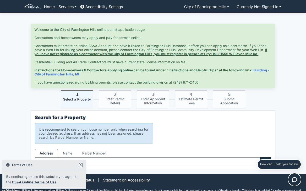
The permit route can connect a parcel to a dated project and its record number. It should not be read as evidence that every named applicant lived at the location.
Farmington Hills Street Gateway Controls
Oakland County Property Gateway supplies the map step that a text search cannot. Its single field is labeled for a PIN or property address and requires at least five characters. The county documents partial address searches such as 1200 S and 123 S V, address wildcards such as 1% Main and 1% S% M, PIN wildcards such as 14011%, and comma-separated PINs. Those controls help find a road segment, but every candidate still needs a map check.
| Portal | Search field | Input type | Required | Documented format |
|---|---|---|---|---|
| Farmington Hills BS&A | Search by Address | Address text | Optional mode | Street number and name; advanced address search available |
| Farmington Hills BS&A | Search by Name | Text | Optional mode | Property, tax, building, and utility record lead |
| Farmington Hills BS&A | Search by Parcel Number | Text | Optional mode | Compare local parcel number with county PIN |
| Farmington Hills BS&A | Building Department Record Number | Text | Optional mode | Building or permit record path |
| Oakland Property Gateway | PIN or Property Address | Single text field | Five characters minimum | Partial, percent wildcard, or comma-separated PINs |
| Oakland Property Gateway | Map click | Map control | Alternative | Click the parcel after navigating to the area |
Gateway map browsing may be free, while reports and printable maps are paid products. Current and historic aerials, elevation contours, FEMA flood data, zoning or land-use context, and parcel boundaries explain a place. They do not identify an occupant. The city’s map gallery adds parcels and developments, historic aerials, floodplains, ZIPs, precincts, zoning, and historic-structure layers.
Farmington Hills Permits by Address
The Farmington Hills Building Department reviews construction plans, issues building, plumbing, electrical, and mechanical permits, and inspects structures. Through BS&A, a permit application begins by selecting property through an address, parcel number, or owner name. A record can show a dated work description, application trail, status, applicant, contractor, or attachments when those records are retained and accessible. This gives a Farmington Hills street directory a time marker for a property, not a complete list of people associated with it.
The Building Department’s public page is the source for the municipal permitting function shown below.
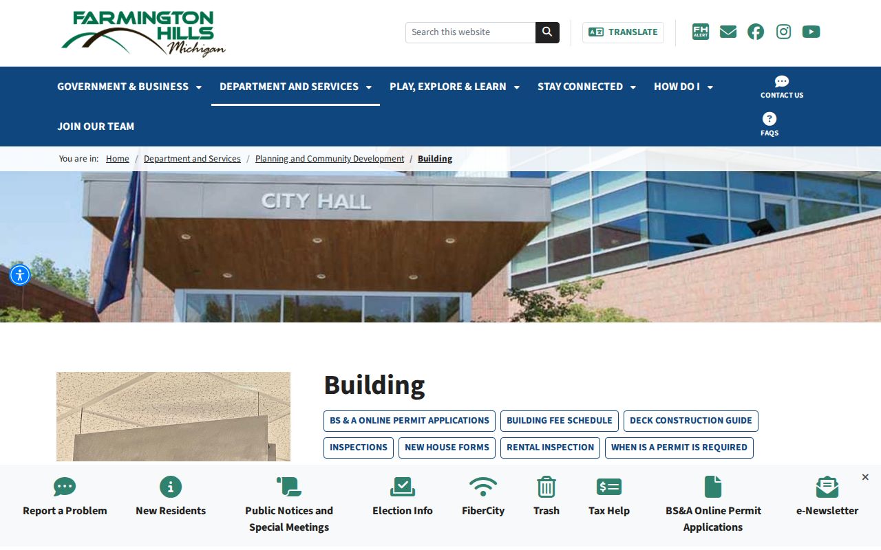
When online material does not reach an older permit or closed plan, request copies from the department or use the city FOIA form. Include the property address or parcel ID and a date interval. Farmington Hills has no separately verified public code-enforcement case portal, so an exact-record request is the documented fallback.
Farmington Hills Street Directory Records
Each source below is keyed to an address, parcel, legal description, or recorded party. Together they make a street-by-street record chain. Separately, they have limits. The county map establishes geometry, the municipal record supports the current tax identity, and a recorded instrument documents a specific transaction. Use the keeper and access route that fits the question instead of expecting one database to settle every point.
| Address-keyed record | Custodian | What it can show | Access route |
|---|---|---|---|
| Municipal assessing | Farmington Hills BS&A | Owner, situs, parcel, tax data, and displayed exemption or assessment indicators | Online portal; city assessor, clerk, or FOIA fallback |
| County parcel map | Oakland County Property Gateway | PIN, parcel boundary, aerials, flood or elevation context, and report products | Free basic map; fee-based reports and maps |
| Deed, mortgage, or lien | Oakland County Register of Deeds | Recorded parties, date, document type, and legal description | Super Index; counter, mail, and manual records for older material |
| Tract or plat | Register of Deeds Tract Index | Subdivision lot, block, condominium, survey, and legal-description connection | Computerized and staff/manual support |
| Permit or plan | Farmington Hills Building Department | Dated project, work description, and accessible applicant or contractor fields | BS&A active search; Building Department or FOIA for older records |
| Historic street directory | Farmington Community Library and Library of Michigan | Time-stamped head-of-household, telephone, and move notation where present | Physical or digitized collection access |
The parcel number is the most reliable bridge across these sources. Preserve its original form, and retain the no-dash form used in county tax searching. Condominiums, master parcels, common areas, and long frontage parcels need an extra check before one PIN is treated as one house.
Note: A tax mailing address is correspondence information and may belong to a trust, business, representative, or another location.
Reading Farmington Hills Address Terms
Address work becomes more accurate when the map label, tax field, and deed language are not treated as synonyms. The legal description is often the durable connection where a street number, postal label, or development name changes. A current parcel can also represent a unit, a master parcel, or a tract that does not look like one house on the map.
- Parcel or PIN
- Oakland County’s unique ten-digit parcel identifier, also called a Sidwell number. It connects the parcel map, tax records, and deed research.
- Situs address
- The physical location of the parcel. It differs from the mailing address used for tax correspondence.
- Plat
- A recorded map that divides land into subdivision lots and blocks. It helps connect a street address to the legal description.
- Criss-cross directory
- A reverse directory arranged by street and house number, often showing the first-listed household name and other dated directory details.
Farmington Hills was formed from Farmington Township and former villages in 1973. Older material can use Farmington Township, Farmington, or another postal label. Major-mile roads help orient a search, but no verified citywide renumbering schedule was found. When an old deed and a current map disagree, use the PIN and legal description, then ask the city or county for an address-equivalence record.
Farmington Hills Deeds in Super Index
The Oakland County Super Index is the recorded-document step in a Farmington Hills street directory search. A simple search can use a name, full address, or PIN. Advanced fields include Grantor, Grantee, Recorded or File Date, Instrument Number, Document Type, Subdivision, Block, and Lot. A grantor is a party transferring an interest; a grantee is the receiving party. Either can be a trustee, lender, fiduciary, or other role, so the deed image and legal description matter.
Result information can include document or instrument number, recording date, Liber and Page, document type, legal description when indexed, and staff index or verification status. The index is free to search. Copies are purchased individually or through subscription. An address term in OCR is a discovery lead, not proof that the document identifies the current parcel, and a mortgage is not a second owner.
For subdivision or condominium property, repeat the search with lot, block, subdivision, or unit information. The Tract Index can support that handoff. County staff also offers a name search by office or mail for a stated per-name fee, while document copies and maps have their own charges.
Farmington Hills Historic Street Entries
Modern parcel records are not a replacement for Farmington-area reverse directories. Farmington Community Library holds Farmington, Farmington Hills, telephone, and Polk directory material, with scattered local directory holdings from 1939 through 2001. The named digitized runs include George Cotter editions for 1939-40, 1941-42, and 1945-46, Michigan Bell material for January 1945-47, and Farmington directory material for 1948-50. These dates make the collection a time-stamped supplement to a Farmington Hills street directory, not a substitute for today’s tax roll.
A Bresser or criss-cross volume is arranged by street and house number. Where an entry is present, it can show a first-listed household name, telephone number, owner or occupancy notation, first year listed, and a move note. A Polk surname section can add other household details. The absence of a name can reflect the edition’s coverage, an abbreviation, a compilation decision, or an unreadable scan. Check the original page and record the edition date.
The Farmington searchable telephone-directory collection is the online entry point for those local scans. For a named street that becomes a one-person verification question, the historical entry should be paired with a parcel, deed, obituary, or other dated custodian record.
Farmington Hills Records Before 1964
Oakland County’s computerized land index reaches from January 1, 1964 to the present. Earlier manual deed books, plats, tract files, and related material reach into the 1800s. That date is an important numbers boundary for a Farmington Hills street directory, because a clean online result does not mean the chain begins in 1964. It means the researcher has reached the point where the county’s computerized path changes.
At that handoff, bring the current PIN, legal description, subdivision or metes-and-bounds wording, and last confirmed grantor or grantee to the Register of Deeds. The Tract Index maintains manual material used for chain-of-title work and can provide a last deed, date, or price when available. An address alone may not find an older manual entry.
Farmington Community Library and Oakland History Center provide the separate historical fallback for directories, photographs, clippings, and place research. A historical directory is a dated listing, not a deed, but it can help test a name and address between transfers.
Farmington Hills Street Directory Limits
Public property records can identify an owner of record, but they do not establish every person at an address. A permit can identify an applicant or contractor without proving residence. A directory can name a first-listed household member for a particular edition without proving a current connection. Michigan’s voter information center is personalized access for a voter, not a public browse of every name on a street. Public voter-file information follows the QVF request process, not a street-directory export.
Michigan law also protects important fields and records. MCL 168.509gg excludes such items as telephone, email, month and day of birth, digitized signature, and certain registration details from the voter file. The Driver’s Privacy Protection Act restricts personal DMV information. The Michigan Address Confidentiality Program can provide an eligible participant a substitute address that government agencies must accept. A mailing value may therefore be intentionally different from a physical location.
Lawful use. Farmington Hills address records support personal, lawful research and careful custodian verification. They do not authorize surveillance, unwanted contact, harassment, or intimidation; Michigan stalking law includes MCL 750.411h.
A full named-road chain needs more than a quick map view. For immediate adjoining parcels, use the Farmington Hills neighbors record method, which keeps its focus on the block rather than the entire street.