
Farmington Hills Neighbors by Parcel
Public block research begins with what each official source can actually establish. Farmington Hills neighbors are not published as a universal roster. The best-supported result is narrower: which parcels touch or sit near a target, who is shown in a property or recorded-document role, and which public community resources may add local context. The records below should be read with the access limits shown. Property ownership and household presence are different claims.
| Source | What It Shows About a Block | Access |
|---|---|---|
| Oakland Property Gateway | Adjacent parcels, PINs, parcel lines, aerial, flood, elevation, and available owner or tax report products | Online map; reports and maps can carry a fee; Service Center at 248-858-8812 |
| Farmington Hills BS&A | Individual assessing, building, tax, utility, or detailed records reached by address, name, or parcel | Municipal portal; city or FOIA fallback for retained material |
| Oakland Super Index | Recorded owners, mortgages, liens, recording dates, and legal descriptions for each parcel | Free index; paid copies or subscription; computerized records from 1964 |
| Michigan QVF | Selected voter-registration fields in an authorized public-file request, with redactions | Request-based through clerk or FOIA; not a free block browse |
| City map gallery | Parcel, development, ZIP, precinct, flood, historic-aerial, and zoning context | Public city map resources |
| Polk or Bresser directories | Historical street-by-house-number listing details where a volume covers the address | Farmington Community Library or Library of Michigan holdings |
| Local associations | Public board, contact, meeting, or planning information | Association or city planning contact; member rosters generally not public |
An owner field is still only an owner field. It may be a trust, estate, business, or correspondence address. A historic directory is a dated assertion about a first-listed household entry, not a current parcel record. These distinctions make a block lookup more defensible and prevent the map from being asked to prove more than it can.
Farmington Hills Neighbor Map Layers
Oakland County Property Gateway is parcel-centered. It accepts a property address or PIN, requires at least five characters, and permits partial address text, percent wildcards, and comma-separated PINs. Map browsing can then reveal the polygons adjoining a target. Current and historic aerial photography, elevation contours, FEMA Digital Flood Insurance Rate Map data, property maps, and land-use context can help explain a corner lot, cul-de-sac, subdivision line, or common area.
The city’s Farmington Hills map gallery adds parcel and development, ZIP, precinct, historic-structure, floodplain, and zoning resources. Those layers describe geography, not people. A documented public buffer, radius, or measure tool was not located in the Property Gateway materials, so a radius result should never be promised.
Free map navigation and fee-based reports are separate products. When a map detail needs support, capture the PIN and use the relevant municipal or county record rather than calling a map impression an official report.
Map a Farmington Hills Block Carefully
The adjacent-parcel method works from a target outward. It does not rely on an undocumented public neighborhood buffer. A corner, condominium master parcel, retained common area, road, or pond can make the visually nearest polygon a poor match for an adjoining property. Record the map layer and date along with each result.
- Search the exact target address in Property Gateway and zoom until parcel lines are visible.
- Open the target polygon first, then save its exact PIN and legal description before moving to nearby land.
- Click each adjoining polygon one at a time. Note the north, south, east, west, or immediately touching PIN rather than guessing from distance.
- When a polygon has no useful label, search its visible address or PIN in Property Gateway or Farmington Hills BS&A.
- Use the owner name, date, legal description, or document type in Super Index only when a recorded-document question remains.
The resulting flow is target address → target PIN and legal description → adjoining polygon one at a time → nearby address or PIN search → recorded owner evidence where needed. It identifies public parcel relationships. It does not create a list of every Farmington Hills neighbor or every person connected with the block.
For a full named-road record chain, rather than just immediate parcels, use the Farmington Hills street directory workflow. It follows the address through permits, deeds, and historic directory sources with the road-level scope kept clear.
Farmington Hills Neighbor Record Checks
Farmington Hills BS&A Online exposes separate Assessing, Building Department, Tax, Utility Billing, Detailed Record Search, Current Tax Search, and Special Assessment paths. The documented modes are Address, Name, Parcel Number, Utility Billing Account Number, and Building Department Record Number. For a block question, address or parcel is the appropriate way to anchor each result to a specific property.
A building record can add a dated project or record number. It does not prove residence, and the dynamic portal inspection did not establish a universal result-card field list. Older permits, closed plans, or other retained city records should be requested by exact address, parcel, and time range from the Building Department or through the city FOIA form.
Note: Preserve the map PIN exactly, because a local parcel number and the county’s ten-digit PIN may need comparison before a deed search.
Farmington Hills Neighbor Voter Limits
Michigan.gov/Vote provides personalized voter information, such as a voter’s own status, polling place, and clerk information. It is not a public browse by street or a block roster. The public voter-file path is the Qualified Voter File request. A request selects one listed geography, including a jurisdiction, ward, precinct, county, or district, and the form does not promise a custom name, household, or ZIP search.
The QVF can contain a complete name, residential address, mailing address where available, year of birth, registration date, status, voter ID, geography codes, and requested vote-history fields. MCL 168.509gg excludes driver license or state ID numbers, month and day of birth, phone, email, digitized signature, last four Social Security digits, application office, and declined-registration records. QVF is request-driven, not a free block browse. The City Clerk maintains Farmington Hills voter-registration records, while the state request form goes to the Bureau of Elections by its stated mail or email channel.
A registration address is evidence from a particular record system, not universal proof of a current household. Status can change through returned mail and statutory maintenance, and the local clerk is the correction channel.
Farmington Hills Neighbor Association Leads
Neighborhood names are useful search keys, but they are not membership evidence. City planning material names Westgate HOA and Holly Hill Farms HOA in 2024 and 2025 development outreach. The city’s 2020 Citizen Participation Plan also refers to a Council of Homeowner Associations and neighborhood groups. No official searchable public member list was located for the named associations. A direct association contact or a public planning record may identify a meeting or board contact, but it should not be represented as a household directory.
| Community reference | Where it appears | What is publicly verified | Member-list status |
|---|---|---|---|
| Westgate HOA | 2024-25 city planning outreach | Named in public outreach material | No verified public roster located |
| Holly Hill Farms HOA | 2024-25 city planning outreach | Named in public outreach material | No verified public roster located |
| Council of Homeowner Associations | 2020 Citizen Participation Plan | City planning reference to a neighborhood-group umbrella | No verified public roster located |
| Old Homestead, Wood Creek Farms, Quakertown, Highmeadow, Forest Hill, Yorktown, Springland, and Woodfarm | City plan and map references | Planning or subdivision place names | Names do not prove membership or a legal boundary |
The Farmington Hills Historical Commission preserves material indicative of early Farmington-area life and is a useful local-history contact, not an association roster.
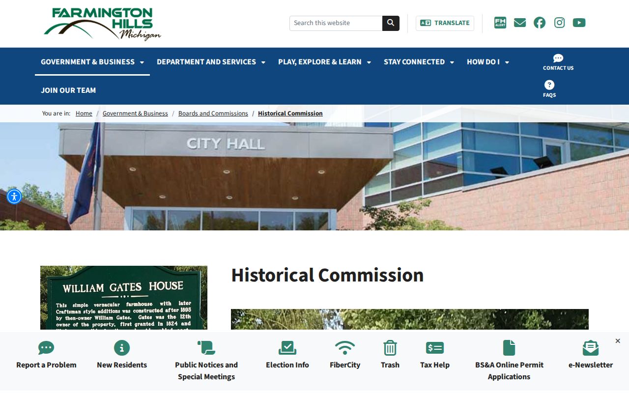
That preservation role can help establish how a subdivision or former township area was described over time. It cannot supply a verified current list of Farmington Hills neighbors.
Farmington Hills Blocks Have Layers
Farmington Hills developed from Farmington Township, Wood Creek Farms, and Quakertown before incorporation as a city in 1973. A public map, older deed, or directory may therefore use Farmington Township, Farmington, Farmington Hills, or a neighboring postal label for the same general corridor. The legal description and PIN provide the steadier bridge when an address label shifts.
Historic aerials and the city map gallery can clarify whether a block once had a different subdivision layout or whether a modern parcel was part of a larger tract. They should be paired with a dated deed or directory entry. The 2024 Master Plan describes a nearly fully developed city with redevelopment and infill opportunities, which makes parcel boundaries and record dates especially important for reading a changing block.
Comparing Farmington Hills Neighbor Sources
Official tools and commercial neighbor-search categories serve different purposes. A public custodian can identify the record type, map layer, date, access route, and limits. A commercial category may combine public and nonpublic information, but it may not show the original record, update date, or the distinction between owner, applicant, and occupant. Use the official source to verify any claim that matters.
| Source type | Best use | Important limit |
|---|---|---|
| Official parcel and deed records | Confirm a parcel, recorded party, legal description, or transaction date | Do not establish every current household member |
| Official QVF request path | Request the existing public voter record allowed by law | Not a free map or block browse; protected fields stay excluded |
| Historic directories | Place a first-listed household entry at an address in a dated edition | Coverage and publication practice can create omissions |
| Commercial neighbor-search category | Possible lead to verify with a custodian | Source date, role, accuracy, and update method may be unclear |
Oakland County’s Property Gateway, Farmington Hills BS&A, and Super Index also differ in a useful way: the city system is municipal-record focused, the county gateway is map and parcel focused, and Super Index is recorded-document focused. Switching among them with the same PIN is more dependable than relying on a broad label.
Farmington Hills Neighbor Privacy Limits
Property ownership is not the same as residence. People who occupy a property but are not shown on title are not supplied by the parcel roll, and other household members are not a public map field. Utility, delivery, and customer information is not a public block dataset. Personal DMV information is restricted by the Driver’s Privacy Protection Act and Michigan law. A deed can also have statutory or court-ordered redactions.
The Michigan Address Confidentiality Program gives eligible people a substitute address and mail forwarding; covered government agencies must accept the designated address. ACP information is exempt from FOIA except for authorized disclosure. Never use a differing mailing value as a reason to try to reconstruct a protected physical location. For a record correction or redaction question, ask the named custodian about the procedure tied to the parcel or record number.
Lawful use. Farmington Hills neighbor records are for personal, lawful research and careful public-record verification. They do not authorize surveillance, unwanted contact, harassment, or intimidation; Michigan law prohibits stalking conduct.
People connected to a block can appear in different documentary roles. Keep the source, date, role, and geographic key with each result instead of turning a map label into a claim about a private household.